
Google Earth KMLs
Community Data Collections of the MGDS can be browsed using Google Earth by downloading KML files listed here. Many of these KML files are generated on the fly and are self-updating files. Select on a Data Collection below to see available KML files.
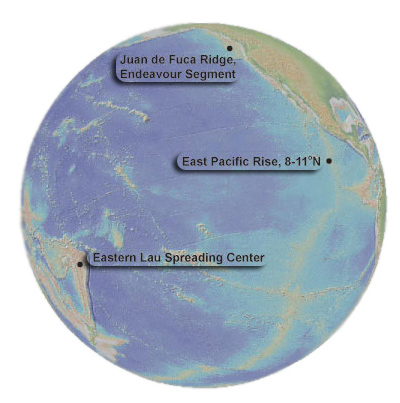
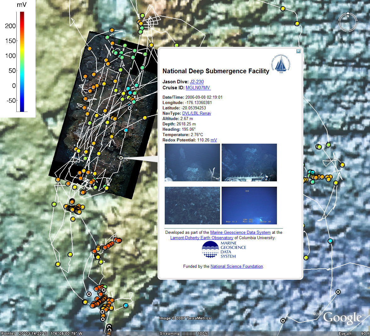
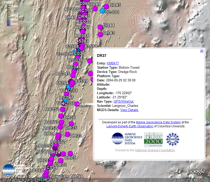
Ridge 2000 Data Collection
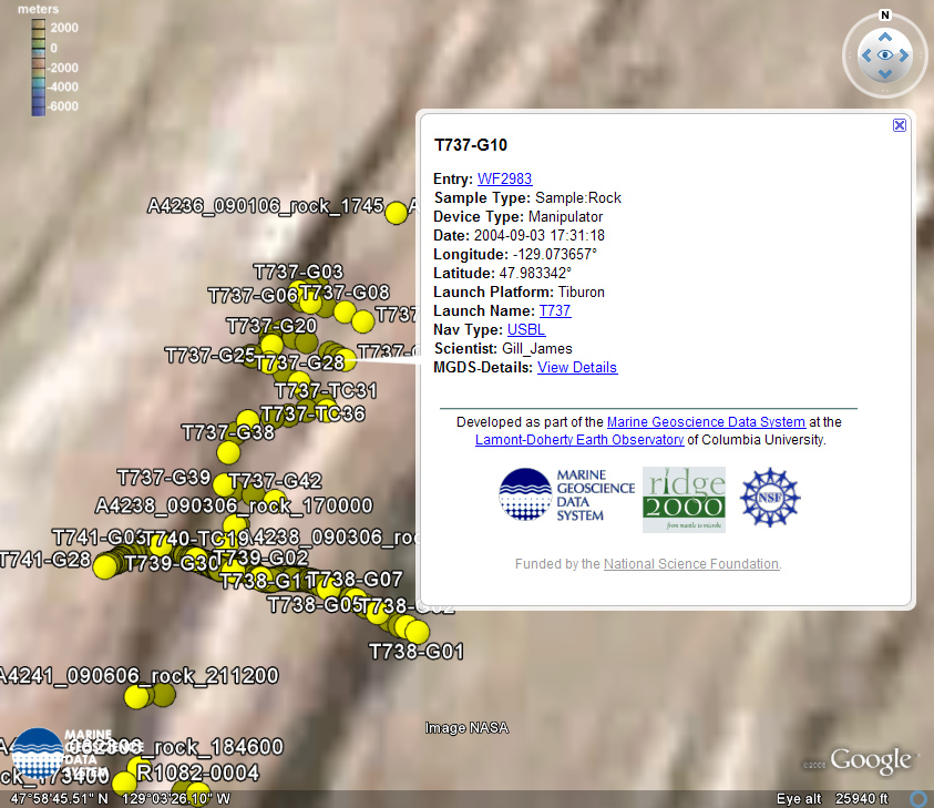
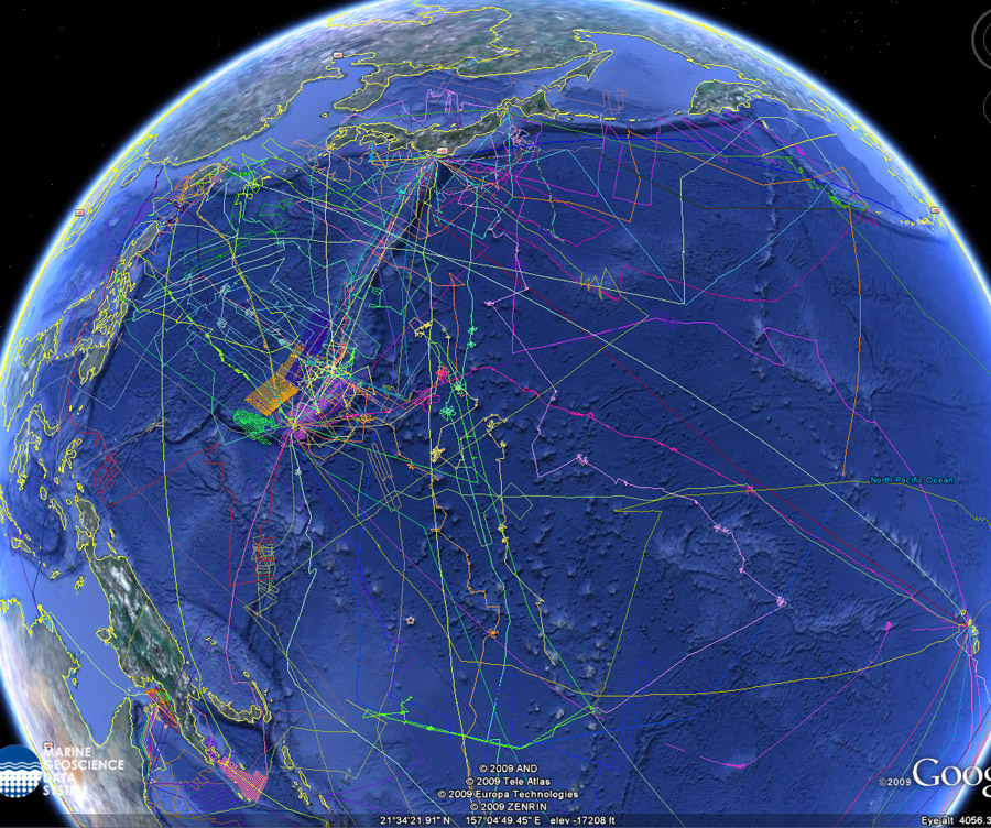
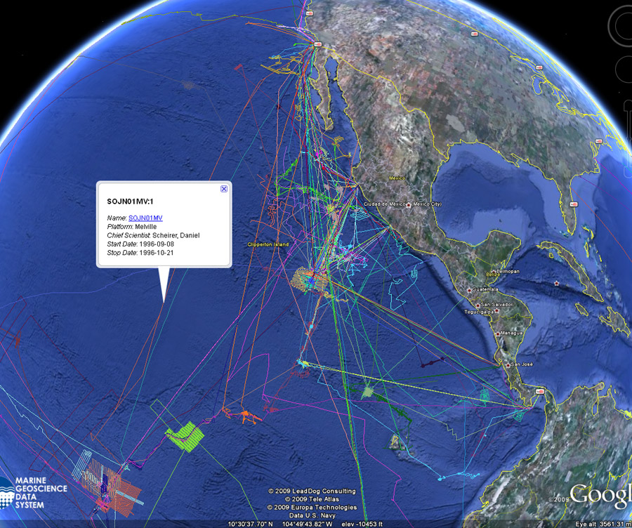 Ridge 2000 Ship Tracks |
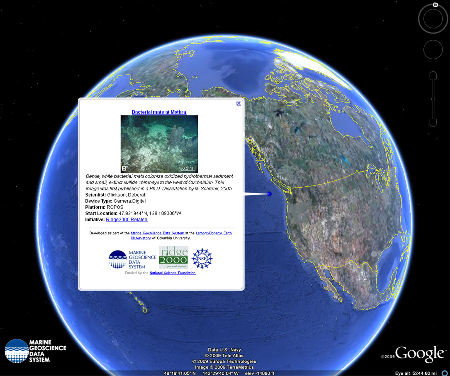 Ridge 2000 MediaBank Images |
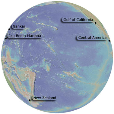
MARGINS Data Collection
 |
Izu Bonin Mariana Bathymetry Stations and Samples |
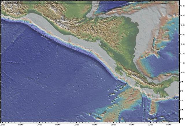 |
Central America Stations and Samples |
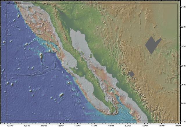 |
Gulf Of California Stations and Samples |
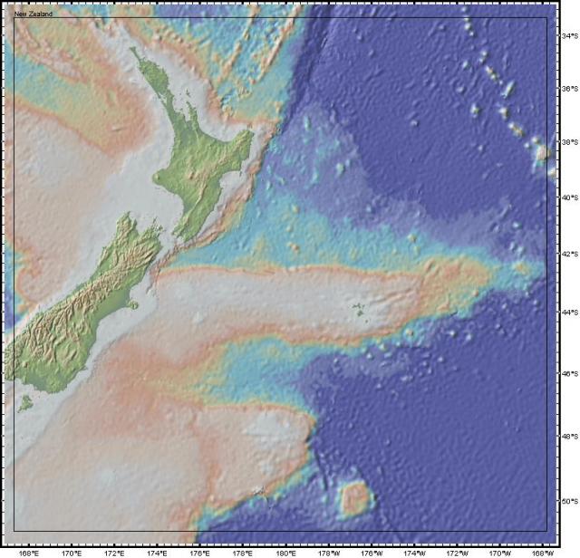 |
New Zealand Stations and Samples |
 MARGINS Ship Tracks GeoPRISMS Ship Tracks |
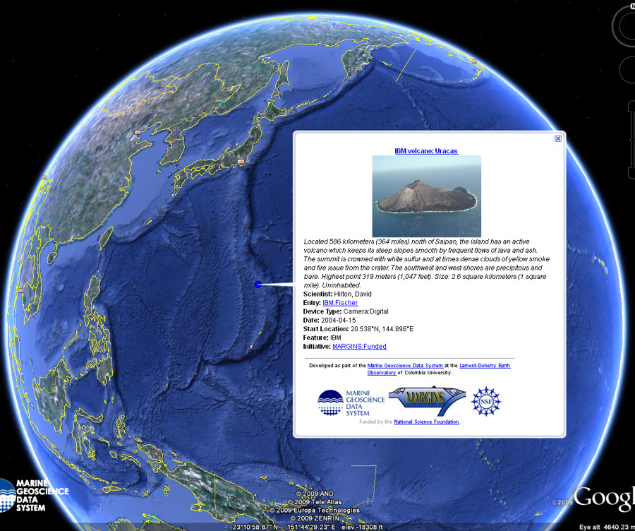
MARGINS MediaBank Images |
Academic Seismic Portal
 MCS Ship Tracks |
Antarctic & Southern Ocean Data Collection
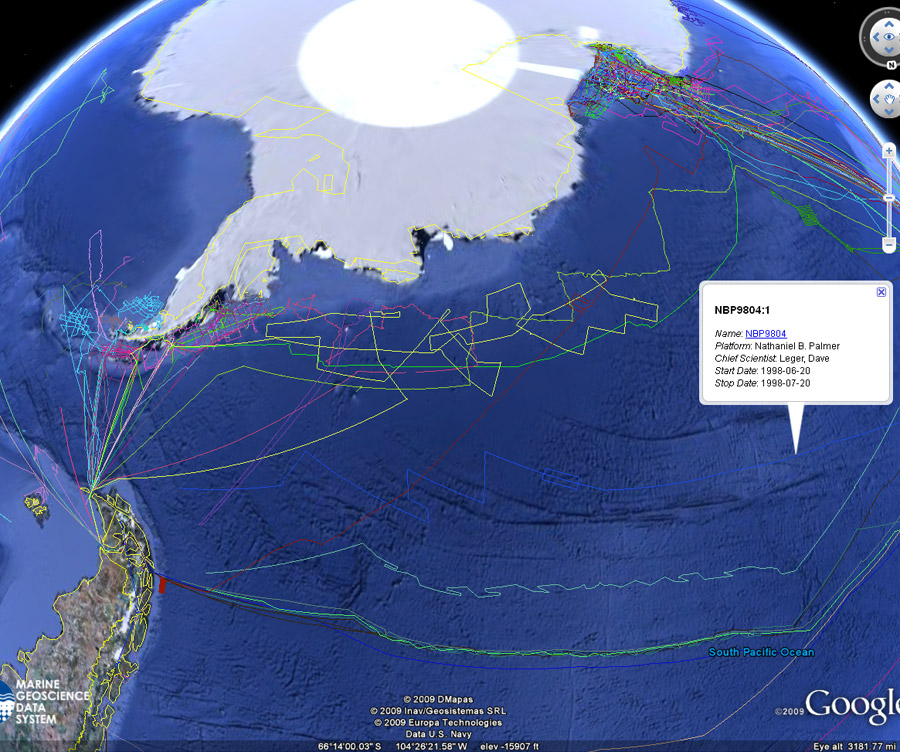 Palmer Ship Tracks |
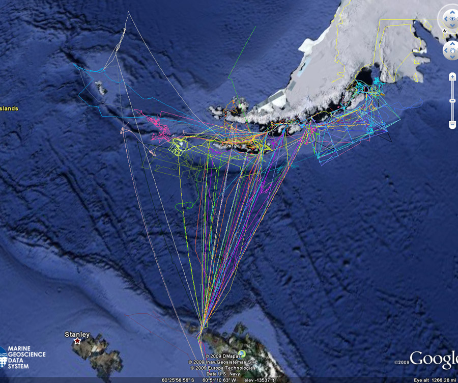 Gould Ship Tracks |
Ship Tracks
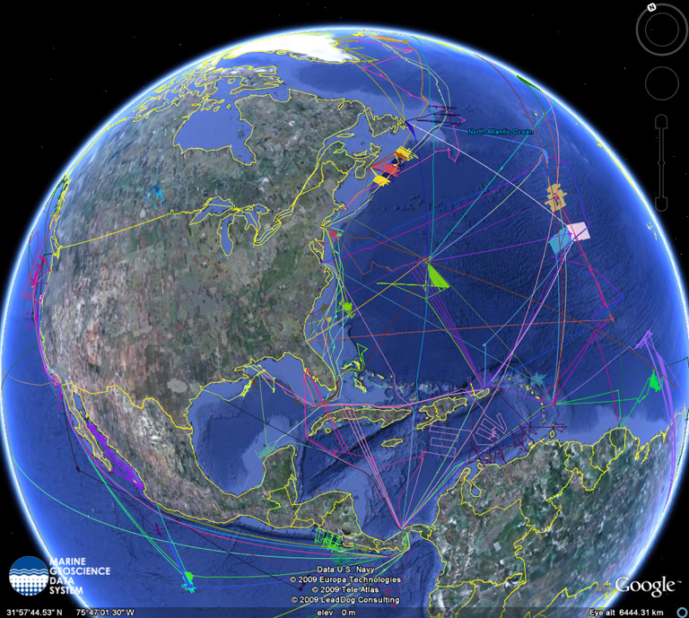
All Cruises in MGDS
 |
