
MGDS Overview
MGDS is designed to serve the needs of the science user community with a focus on (1) enabling data discovery and access, (2) curating coherent disciplinary collections of data that facilitate the creation of global syntheses, (3) ensuring the long-term preservation and stewardship of research data products, and (4) facilitating compliance with data management and data sharing obligations. MGDS directly complements data stewardship activities of the allied NSF-funded Rolling Deck to Repository (R2R). In addition, MGDS coordinates with and leverages the NOAA National Centers for Environmental Information (NOAA NCEI) for the integration of data into the national long-term archive and for redundancy storage of large-volume data.
Data Services
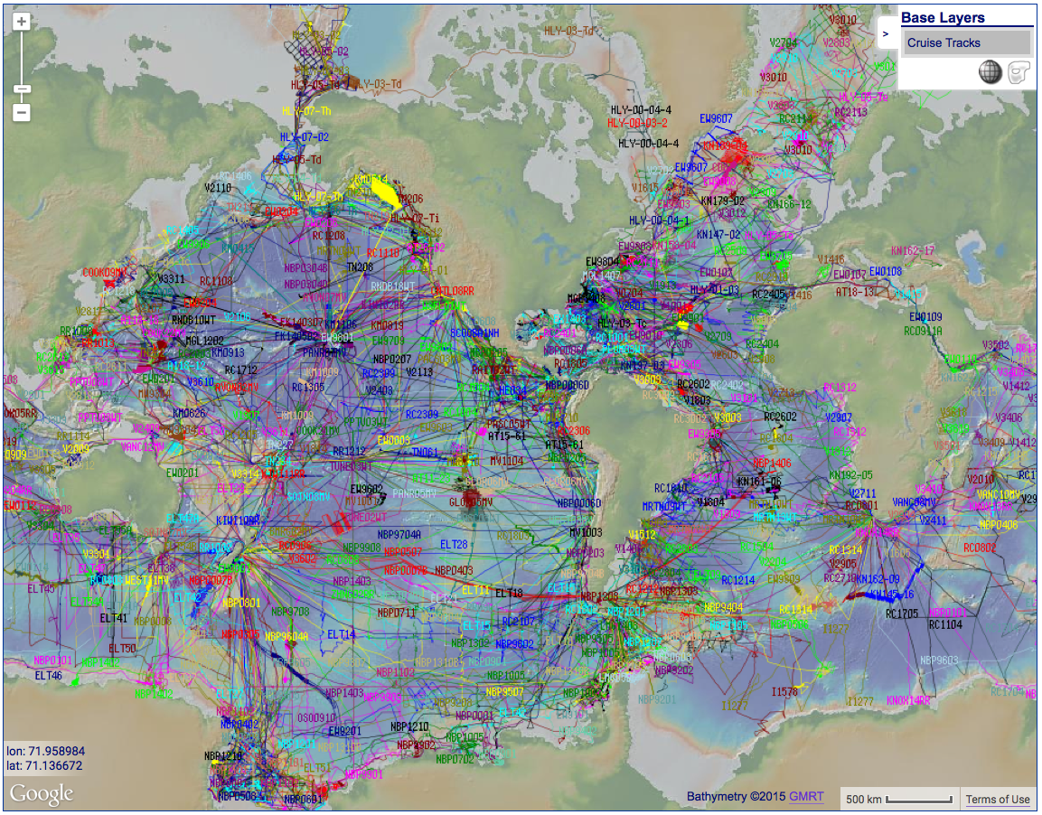
MGDS is an interactive digital data library, data repository, and curated metadata catalog that offers a suite of services for data discovery and preservation. The system currently provides open, web-based access to 123.2TB of data, corresponding to over 2,024,000 digital data files from more than 3,670 research programs dating back to the 1970’s. Data and metadata can be accessed through a geospatially-enabled search interface and through web services that follow the specifications of the Open Geospatial Consortium (OGC). Program. MGDS is registered as a research data repository with re3data.org
Data Submission: MGDS encourages submissions of new marine geoscience data sets for inclusion, in particular processed and interpreted data products supporting publications and field data that has not been archived elsewhere. Data can be contributed to MGDS online or by contacting us.
Attribution and Data Citation: MGDS offers data preservation services including long-term archiving, the registration of data with Digital Object Identifiers (DOIs ®) for persistent identification and formal citation, and links to related scholarly publications. Data contributors receive regular reports summarizing data download activity. Through collaborations with several earth-science journals, we provide links between publications and data. We promote the collegial use of data through its Terms of Use and provides semi-annual data download reports to data contributors to inform them of downloads/views of their data.

Data Collections
In addition to providing broad access to marine geoscience data enriched by discipline-relevant metadata, MGDS also manages several data collections. These data collections are aggregations of data and information that promote discoverability, integration and synthesis by consolidating similar content. As coherent disciplinary data collections are assembled and curated they enable new exploration and discovery within existing data, including legacy data that are recognized by the community as important resources for modern research.
Active Data Collections:
- Academic Seismic Portal (ASP) - MGDS hosts and curates active-source seismic data acquired by the US academic community. For over a decade, stewardship of this data was handled jointly by MGDS, which hosted field data, and a partner system at the University of Texas Institute for Geophysics which hosted processed data. As of 2020, the partner system was discontinued and all US academic seismic data is now curated within MGDS.
- GeoPRISMS Data Collection - Offers data generated as part of the NSF-supported GeoPRISMS program which studies geodynamic processes at both rifting and subducting margins. The decadal shoreline-crossing GeoPRISMS program began in 2010 to focus upon the origin and evolution of continental margins and has five primary study areas: Cascadia, Eastern US, Alaska-Aleutians, New Zealand and East Africa. Data from GeoPRISMS-funded and related projects available via MGDS include 2-D and 3-D multi-channel seismic reflection data, electromagnetic and magneto-telluric data, heat flow data, geodetic velocity solutions, earthquake catalogues, bathymetry and sub-bottom profiling data, and tomographic velocity models. Links to scientific publications and extensive metadata provide context.
Legacy Data Collections:
-
 MARGINS Data Collection
is an aggregation of data that serves as the primary data resource resulting
from the NSF-funded MARGINS Program. Active between 1998-2010,
the MARGINS program studied the evolution of continental margins at
seven focus sites: Gulf of California, Papua New Guinea, New Zealand,
Izu-Bonin-Marianas, Costa Rica-Nicaragua, Nankai, and Red Sea. Split
over four initiatives covering the rupture of continental lithosphere,
the seismogenic zone and subduction dynamics and source-to-sink, a wide
range of MARGINS data was produced. Examples of data from MARGINS-funded
and related projects available via MGDS include 2-D and 3-D
multi-channel seismic reflection data, along-track geophysical data,
rock and sediment core data and geochemical analyses, radiometric dating
data, water column data (XBT, CTD, ADCP), heat flow data, geodetic
velocity solutions, earthquake catalogues, bathymetry, sidescan and
sub-bottom profiling data. Links to scientific publications and
extensive metadata provide context.
MARGINS Data Collection
is an aggregation of data that serves as the primary data resource resulting
from the NSF-funded MARGINS Program. Active between 1998-2010,
the MARGINS program studied the evolution of continental margins at
seven focus sites: Gulf of California, Papua New Guinea, New Zealand,
Izu-Bonin-Marianas, Costa Rica-Nicaragua, Nankai, and Red Sea. Split
over four initiatives covering the rupture of continental lithosphere,
the seismogenic zone and subduction dynamics and source-to-sink, a wide
range of MARGINS data was produced. Examples of data from MARGINS-funded
and related projects available via MGDS include 2-D and 3-D
multi-channel seismic reflection data, along-track geophysical data,
rock and sediment core data and geochemical analyses, radiometric dating
data, water column data (XBT, CTD, ADCP), heat flow data, geodetic
velocity solutions, earthquake catalogues, bathymetry, sidescan and
sub-bottom profiling data. Links to scientific publications and
extensive metadata provide context.
-
 Ridge 2000 Data Collection
is an aggregation of data that resulted from the
Ridge 2000 Program
which was an inter-disciplinary program focused on understanding the mid-ocean
ridge system from mantle to microbe. The program was active from
2002-2010 and yielded extensive interdisciplinary observational data from
three integrated study sites (East Pacific Rise, Juan de Fuca Ridge, and
Lau Basin). Data from Ridge2000-funded and Ridge2000-related cruises are
available via MGDS and include: seafloor mapping and other geophysical data,
water column (MAPR, CTD, and ADCP) data, fluid chemistry, temperature probe
data, biological species lists, sensor data acquired with submersibles
(Alvin and Jason), towed camera photos and rock, fluid, and biological
sampling information as well as a diverse suite of derived data products
(e.g. near-bottom sonar bathymetric grids, image mosaics, genetic sequences,
earthquake catalogs). Data are linked to scientific publications and
extensive metadata is supplied to provide context about observational
datasets.
Ridge 2000 Data Collection
is an aggregation of data that resulted from the
Ridge 2000 Program
which was an inter-disciplinary program focused on understanding the mid-ocean
ridge system from mantle to microbe. The program was active from
2002-2010 and yielded extensive interdisciplinary observational data from
three integrated study sites (East Pacific Rise, Juan de Fuca Ridge, and
Lau Basin). Data from Ridge2000-funded and Ridge2000-related cruises are
available via MGDS and include: seafloor mapping and other geophysical data,
water column (MAPR, CTD, and ADCP) data, fluid chemistry, temperature probe
data, biological species lists, sensor data acquired with submersibles
(Alvin and Jason), towed camera photos and rock, fluid, and biological
sampling information as well as a diverse suite of derived data products
(e.g. near-bottom sonar bathymetric grids, image mosaics, genetic sequences,
earthquake catalogs). Data are linked to scientific publications and
extensive metadata is supplied to provide context about observational
datasets.
- Antarctic and Southern Data Collection provides access to field data acquired by the US Antarctic Program-supported research vessels Nathaniel B. Palmer and Laurence M. Gould. Curation of this data within MGDS began in 2003. In 2019, stewardship of these data sets was transferred to the Rolling Deck to Repository (R2R) Program which curates raw/underway ship-based data for the entire US academic research fleet. Data previously curated for these vessels by MGDS can still be accessed and discovered through our tools and services, as well as through R2R. Newly acquired data can be discovered directly through the R2R web pages. Other complementary Antarctic data formerly curated within MGDS are now curated by the US Antarctic Program Data Center (USAP-DC).
Background
The Marine Geoscience Data System was first developed in 2003 with funding from the National Science Foundation to provide data management services in support of several research communities: the U.S. Antarctic Program (USAP), the Ridge 2000 and MARGINS programs, and for the active-source marine seismic research community. In 2005, the system was expanded to include dedicated data management services for global bathymetry data. From 2010-2019 MGDS was operated as part of the IEDA data facility for solid earth geoscience data. In late 2019, MGDS resumed independent operations whilst maintaining coordination with complementary data systems and offering access to their data holdings, including the Global Multi-Resolution Topography (GMRT) Synthesis, GeoMapApp, the US Antarctic Program Data Center (USAP-DC), and the Rolling Deck to Repository (R2R) Program.
The MGDS Team includes Dr. Vicki Ferrini (Director), Dr. Andrew Goodwillie (Lead Data Manager) and Mr. John Morton (Technical Lead), Ms. Rose Anne Weissel (User Support), as well as an IT team that supports infrastructure as part of the Geoinformatics Research Group at the Lamont-Doherty Earth Observatory.
